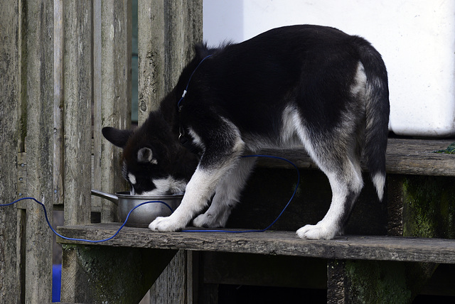
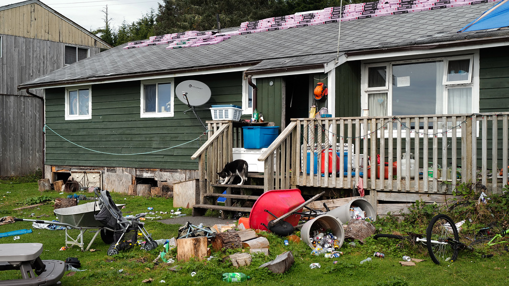
Opitsaht Reserve, Canada
Opitsaht Reserve, Canada
Opitsaht Reserve, Canada
Tofino, Canada
Tonquin Beach
Tonquin Beach, Photographers on their wedding day
3 in a square
Season´s baobab
Victoria, Canada, Buying socks!
Victoria, Canada, Lighthouses for Pam’s collection
Vancouver by night, handhold... leaning on a stone…
Vancouver
Vancouver
Vancouver, the last one!
Winter of life
Winter of life, Penedos
Castro Marim, Hidden corners
Penedos, Retiro dos Namorados
Ribeira do Vascão
Penedos, Retiro dos Namorados
Ranunculus bullatus, Penedos
Brassica barrelieri, Penedos
EN 124, de Alcoutim a Martim Longo
Opitsaht Reserve, Canada, HFF
Castro Marim
Long Beach, Canada, Black Bear
Skunk Cabbage Boardwalk
Sunwapta Falls
Pyramid Island
Maligne River
Maligne Lake early morning, freezing cold....
Maligne Lake, Spirit Island
Bighorn sheep, Canada
Cow Moose licking salt on the car
Ixoreus Naevius, Canada
Cyanocitta stelleri, Canada
Kootenay national Park, Olive Lake, HFF
Athabasca River, Potholes
Bow Lake
Emerald Lake
Grizzli Bear, Canada
Mistaya Canyon
Banff, Water flowing
Asteroidea, Estrela do mar
Johnston Canyon, Lower Falls
1/1600 • f/7.1 • 300.0 mm • ISO 800 •
NIKON CORPORATION NIKON D800
See also...
See more...Keywords
Authorizations, license
-
Visible by: Everyone -
All rights reserved
-
746 visits
Opitsaht Reserve, Canada


Opitsaht, spelled also as Opitsat and Opitsitah, is a community of the Tla-o-qui-aht people of the Nuu-chah-nulth nation, located at the SW end of Meares Island in Clayoquot Sound. During the era of the Maritime Fur Trade, Opitsaht was the seat of Wickaninnish, chief of the Tla-o-qui-aht, and contained 200 ornately carved buildings typical of Nuu-chah-nulth villages. This original village was destroyed by cannon fire by Captain Robert Gray of the Columbia Rediviva as part of a falling-out with the Tla-o-qui-aht when Gray evacuated his erstwhile "fort" nearby on Meares Island, known as Fort Defiance. Today Opitsaht is one of the main villages governed by the Tla-o-qui-aht First Nations, the band government of the Tla-o-qui-aht people.
The population of Opitsat Indian Reserve No. 1, which is named after the village and is an official land status used by Statistics Canada as a census area, was 174 at the Census of 2006.
Source: en.wikipedia.org/wiki/Opitsaht
PIP ABOVE

For my thoughts about the place see the previous posted picture: www.ipernity.com/doc/xata/49396368
The population of Opitsat Indian Reserve No. 1, which is named after the village and is an official land status used by Statistics Canada as a census area, was 174 at the Census of 2006.
Source: en.wikipedia.org/wiki/Opitsaht
PIP ABOVE

For my thoughts about the place see the previous posted picture: www.ipernity.com/doc/xata/49396368
LotharW, Erhard Bernstein, Annemarie, Jean-luc Drouin and 8 other people have particularly liked this photo
- Keyboard shortcuts:
Jump to top
RSS feed- Latest comments - Subscribe to the comment feeds of this photo
- ipernity © 2007-2025
- Help & Contact
|
Club news
|
About ipernity
|
History |
ipernity Club & Prices |
Guide of good conduct
Donate | Group guidelines | Privacy policy | Terms of use | Statutes | In memoria -
Facebook
Twitter

Admired in:
www.ipernity.com/group/tolerance
Xata club has replied to rdhinmn clubI can understand poverty, I am born in a world few people can imagine, but we were clean, on ourselves and so was the miserable place we lived in: scrubbed, bleached, never a litter or any trace of dirt.
Sign-in to write a comment.