Location
Lat, Lng: 37.974447, -119.113340
You can copy the above to your favourite mapping app.
Address: Picnic Grounds Rd, Lee Vining, California, 93541
You can copy the above to your favourite mapping app.
Address: Picnic Grounds Rd, Lee Vining, California, 93541
See also...
See more...Keywords
Authorizations, license
-
Visible by: Everyone -
All rights reserved
-
280 visits
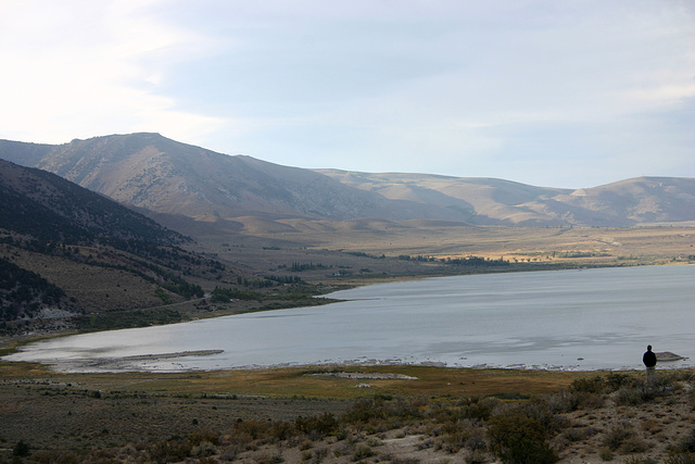
Mono Lake, California, USA


Looking north from the visitor center along the Sierra Nevada range front. Conway Summit on US 395 goes thru the obvious pass on the skyline to the right of center. It's a stream drainage that was truncated by downward movement on the fault that defines the north side of the Mono basin.
- Keyboard shortcuts:
Jump to top
RSS feed- Latest comments - Subscribe to the comment feeds of this photo
- ipernity © 2007-2025
- Help & Contact
|
Club news
|
About ipernity
|
History |
ipernity Club & Prices |
Guide of good conduct
Donate | Group guidelines | Privacy policy | Terms of use | Statutes | In memoria -
Facebook
Twitter


Sign-in to write a comment.