Location
Lat, Lng: 39.310228, -119.880366
You can copy the above to your favourite mapping app.
Address: 89511, Reno, Nevada
You can copy the above to your favourite mapping app.
Address: 89511, Reno, Nevada
Keywords
Authorizations, license
-
Visible by: Everyone -
All rights reserved
-
144 visits
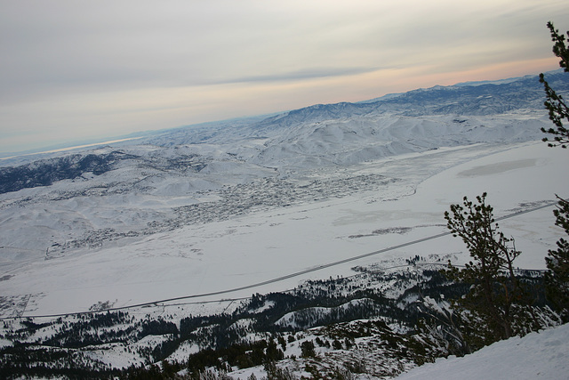
Washoe Valley & New Washoe City


Looking east from the top of Zephyr Run on Slide Mountain, in the Mt. Rose Ski Area. US 395 is the prominent divided road running diagonally up to the right toward this side of the valley.
- Keyboard shortcuts:
Jump to top
RSS feed- Latest comments - Subscribe to the comment feeds of this photo
- ipernity © 2007-2025
- Help & Contact
|
Club news
|
About ipernity
|
History |
ipernity Club & Prices |
Guide of good conduct
Donate | Group guidelines | Privacy policy | Terms of use | Statutes | In memoria -
Facebook
Twitter


Sign-in to write a comment.