Aspens again!
Looking up Columbine Creek trail
The Wilderness Boundary sign
As the sun sinks slowly in the west...
20210919 165841 001
20210919 133432 001
20210919 135552 001
20210919 140606 001
20210919 141727 001
20210919 141737 001
20210919 150858 001
20210919 151559 001
20210919 151750 001
20210919 151931 001
20210919 152118 001
20210919 152622 001
20210919 153016 001
20210919 153117 001
20210919 153652 001
20210919 154141 001
20210919 154350 001
20210919 155334 001
20210919 160945 001
Down the switchbacks on the Columbine Trail
Canyon of Columbine Creek
Columbine Creek trail
TCT junction
Coming into Columbine Canyon
Looking back south
Dropping into the drainage
TCT northbound.
TCT northbound.
Dropping...
Looking east from the TCT
Bye, Arc Dome!
Cairns
Arc Dome (11,773 ft/3588 m)
Arc Dome (11,773 ft/3588 m)
On top
THAT'S Arc Dome!
Looking back southwesterly
Last push
Almost there...
Rough...
Getting closer...
Location
Lat, Lng:
You can copy the above to your favourite mapping app.
Address: unknown
You can copy the above to your favourite mapping app.
Address: unknown
Keywords
Authorizations, license
-
Visible by: Everyone -
All rights reserved
-
98 visits
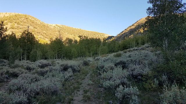
Looking back up the Columbine Trail


The TCT crosses into this canyon at the obvious low point to right of center.
Andy Rodker, Diane Putnam, Berny have particularly liked this photo
- Keyboard shortcuts:
Jump to top
RSS feed- Latest comments - Subscribe to the comment feeds of this photo
- ipernity © 2007-2025
- Help & Contact
|
Club news
|
About ipernity
|
History |
ipernity Club & Prices |
Guide of good conduct
Donate | Group guidelines | Privacy policy | Terms of use | Statutes | In memoria -
Facebook
Twitter

Sign-in to write a comment.